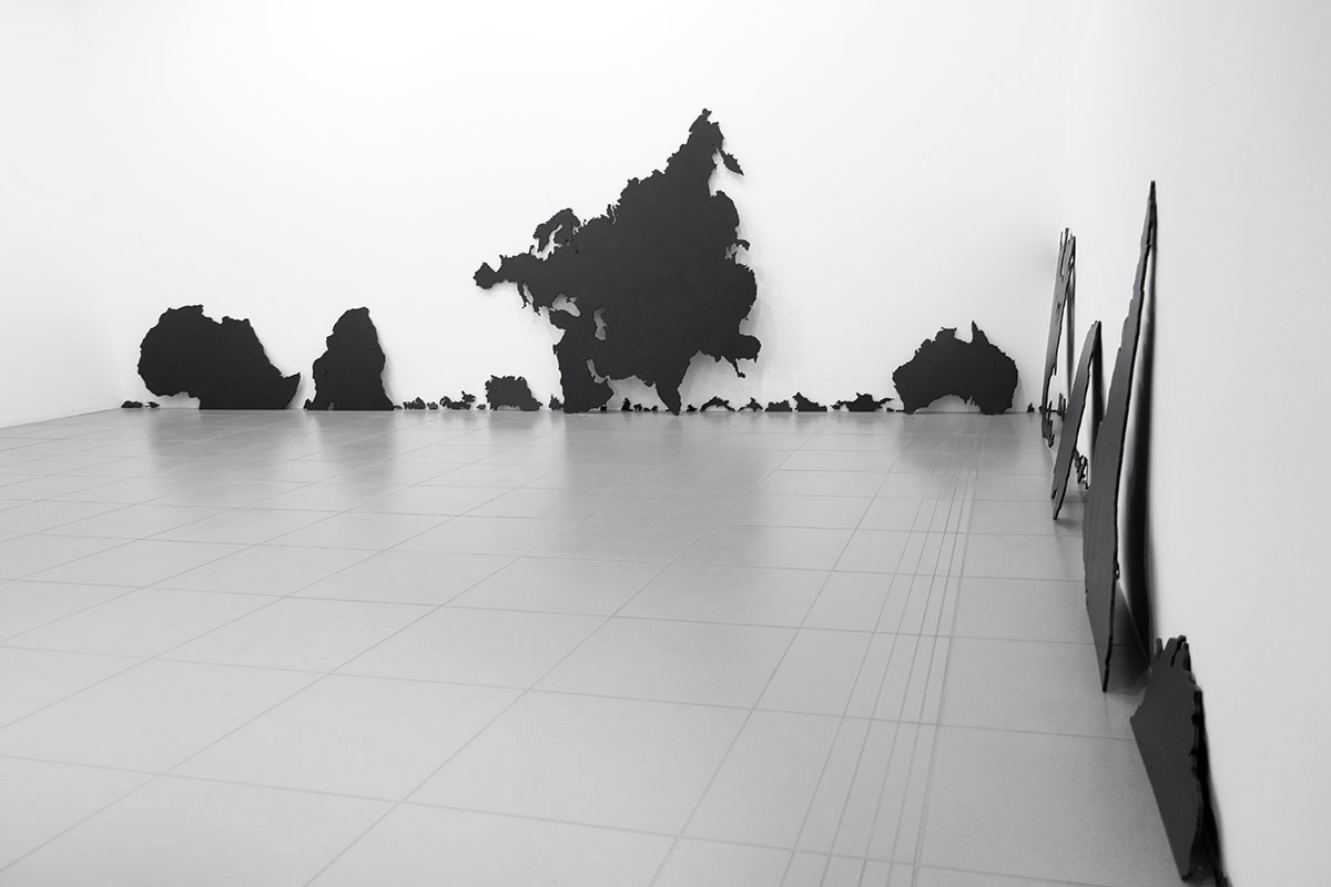
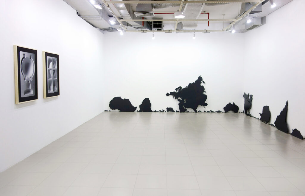
1. What do maps tell us about the world?
What maps can tell us about conventions and representations of the world?
2. Why do drawings of maps mainly follow horizontal and vertical lines like a grid structure where the Earth is projected, following a Cartesian way of thinking?
3. Equatorial Line determines a symbolic division between North and South, being more than a graphic line in a Map, a region on Earth where physical phenomena take place: “Pot-au-noir” is known as a region where the winds stop blowing or sudden storms occur, making it a dangerous place for sailors.
What if Equatorial Line were physically projected on Earth, splitting the Globe into two parts, where the Northern and Southern hemispheres would no longer exist?

4. What is the political sense of dividing the World into Northern and Southern Hemispheres?
5. Beyond a thought related to physical spaces of the Earth and its projection as maps, time is another vector to be considered.
How to think about the duration of cycles, of days and nights, if not through time’s relativity?
6. How could city maps lead us to think about other possibilities for cities?
7. How could utopia lead us to think of another way to represent the world?
How could utopia alter an established order of things?
Text written for the solo exhibition Ensaio sobre uma ordem das coisas at Goethe-Institut Porto Alegre – Brazil in 2015.