The Resonance of Images: Cartography as an Artistic Device
* The original text was published in Spanish and Portuguese
By Malena Mazzitelli Mastricchio and Marina Camargo (originally in Spanish and Portuguese)
(…)
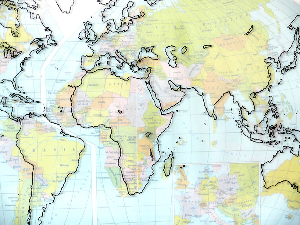
“Precise Cartographies” is a series of works from 2009. In these drawings, I sought to superimpose two maps of the same continent. The mismatch between the contours of these maps revealed both differences in cartographic projections and in the way each map was drawn (even when I used the same projection structure). These differences between drawings representing the same place, continent, or region seem to lend a sense of humanity to the maps.
Cartography tends to be perceived through the lens of its precision, as if it were a discipline closer to the exact sciences than one involving creation, choices, and various distortions. And it is precisely these distortions that led me, little by little, to focus on ways to expand such distortions and ways of remaking maps.
Map designs are, obviously, based on precise data, but they are also inventions laden with various interests, the result of historical moments; they are drawn with the intention of showing some specific dimension of a given reality.
Cartographic projections have become an obsession and have accompanied me in my studio work. I study various projections; sometimes I reinvent them, other times I seek ways to confront or reinvent the map using materials that can add a new layer of distortion to the cartographic drawings.
Deformation is, therefore, central to my interest, as if I had become a keen observer of translations and the multiple meanings that words can acquire when transported from one language to another: something is lost in this act of translation, but something also unfolds in this “loss,” as meanings and significances transform and expand.
Verónica Hollman (2014) argues that, when analyzing visual records, it is important to take the linguistic context into account. According to the author, the paratext “provides coordinates for the visual interpretation itself and the ways of looking that are promoted” (Hollman, 2014:62). Thus, the paratext Precise Cartography (Figures 4, 5, and 6), which Marina chose for this work, makes me wonder if there is any cartography that is truly such.
Cartographic historians have long argued that accuracy must be considered within its historical and cultural context. But what about maps produced using modern methods? As Anderman (2000) pointed out, scale is not the only major artifice of cartography: it leads us to believe that a change in size is the only modification the map allows itself to make with respect to the terrain it represents. For the author, planimetry is also an artifice, since the map “is an artifact whose supposed fidelity to nature is, in itself, a concept manufactured and agreed upon within the realm of culture” (Anderman, 2000:102).
Perhaps we should think of cartography as a fiction, in the terms proposed by the Argentine author Juan José Saer, since cartography, when it resorts to the false, does so to increase its credibility. The utilitarian nature of the map depends on whether or not it fulfills the objectives set by its creator, including whether the cartographer is a visual artist—like Marina—or a poet, as in literary cartographies.
Another point I’d like to mention regarding the Precise Cartography series is the human quality that Marina, in her text, attributes to the map. Aída Carballo writes: “Every endeavor is social, if its creator is capable of lifting their head from their task and looking around.”⁸ Can a cartographer create a map without lifting their head, even if they’re using a computer? Technology has reinforced the idea that a map is the result of concrete, neutral, fixed measurements. The apparatus—whether the theodolite, the GPS, or, in its time, the invar tape—is typically conceived as a neutral mediator between the surveyor’s/cartographer’s eye and the data obtained.
However, with the technical prosthesis, says Besse, “the body involved overflows the technique while using it, driving it beyond itself, toward the human experience of the dialogical construction of meaning” (2013:51). Technical mediation does not prevent the operator from looking around, from drawing. After all, “it is the very act of drawing that forces the artist to look at the object before him, to dissect it and reassemble it in his imagination or, if he draws from memory, that forces him to delve into it, until he finds content from his own storehouse of past observations” (Berger, 2014:7).
The cartographer, like Berger’s drawing artist, is compelled to look, to take notes, and to make annotations. That observation of space is, precisely, the social nature of the map. There is no such thing as cartography that is not social.
(…)
Malena Mazzitelli Mastricchio is a geographer specializing in the history of cartography and geography. She holds a Ph.D. in Geography from the University of Buenos Aires (UBA) in Argentina, with a focus on the history of geography and cartography, and a bachelor’s degree from the same institution. She currently serves as an associate researcher at CONICET (since 2019, in the HITEPAC-FAU-UNLP group) and as an adjunct professor of Cartography in the Faculty of Philosophy and Letters at UBA.