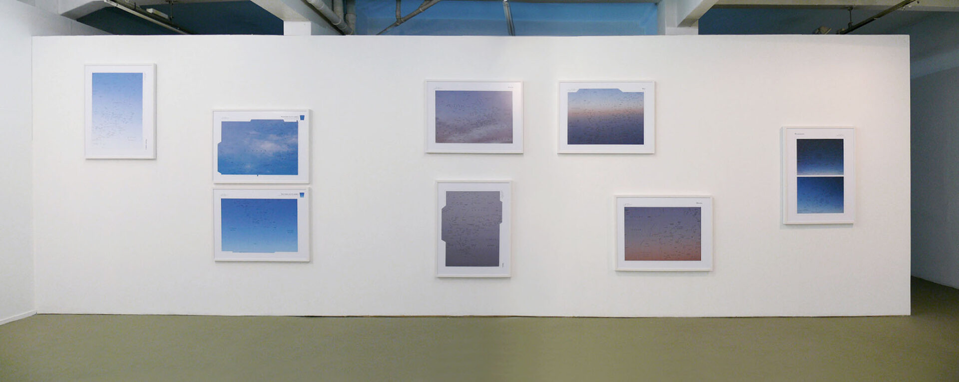
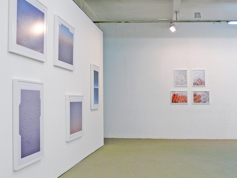
Atlas of the Blue Sky
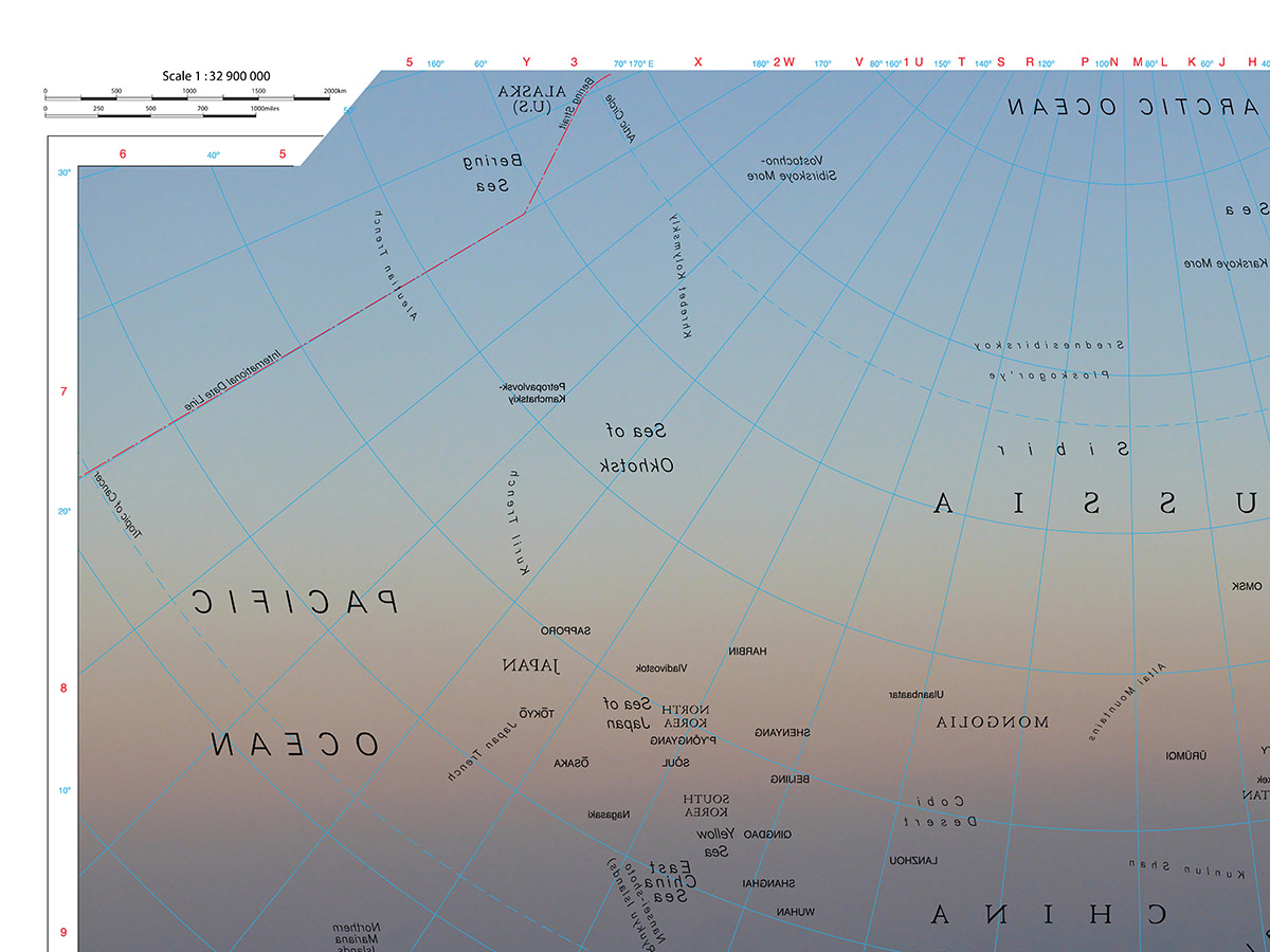
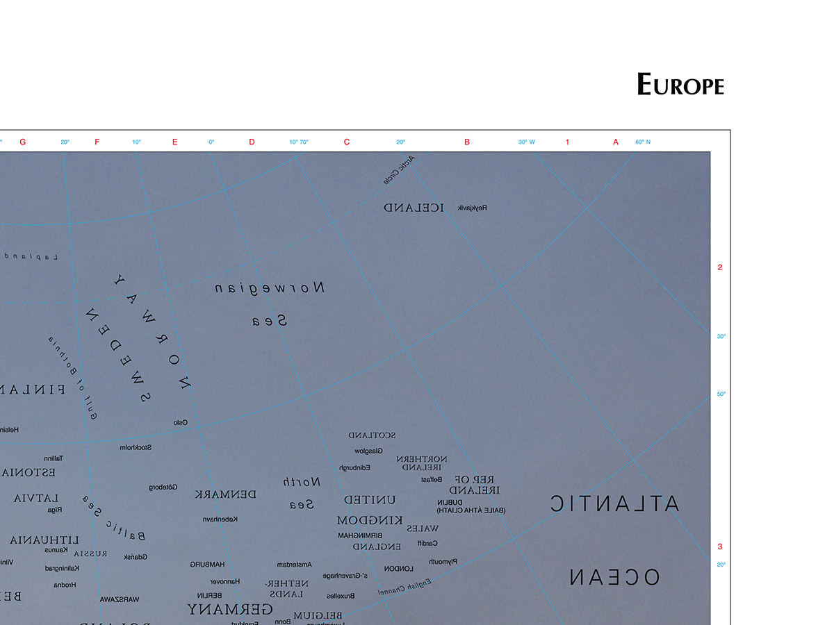
Maps of a geographic Atlas have redrawn their information (e.g., names of cities and countries) and appear inverted as if we were looking from inside the map toward the sky. Each map shows a different picture of a sky in the place of geographies.
ATLAS OF THE BLUE SKY
Drawing and photograph
Dimensions: 75 x 90 cm (each)
2008
Details of Atlas of the Blue Sky (World) in Palavra Perdida‘s solo exhibition (Virgilio Gallery, São Paulo, 2008).